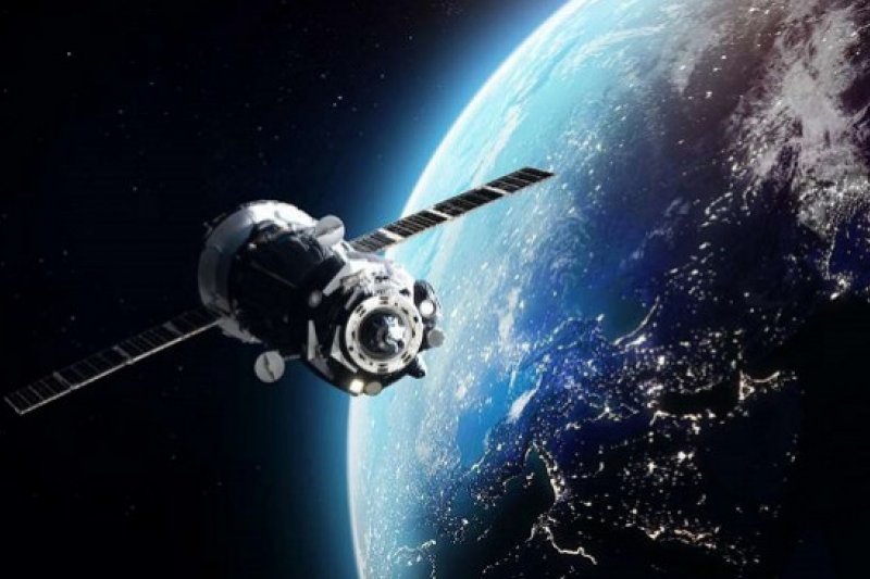
Almost Half of Albania Covered by Satellite Imagery
About six months after the launch of the Albania 1 and Albania 2 satellites, the government has a clear picture of nearly half of Albania's surface. So far, about 47 percent of the surface of the Albanian territory, or 13,416 square kilometers, has been covered with satellite imagery.
"The second country in the region after Slovenia that has its own constellation in space. We become part of the new space economy by developing its involvement in the space community through high-resolution satellite imagery. They enable the realization of our ambitions as a NATO member country. Everything can be read in real time," Prime Minister Edi Rama said.
The images will serve to solve emergency issues such as floods, fires or illegal activities.
"Cannabis is now much easier for the law enforcement agency, for the leaders, but also for the political leadership of the Ministry of the Interior and the government, that is, to have full clarity not just on how much surface is found, but also how much they intervene in every surface.”


